OS GR

The Ordnance Survey grid reference is a British system to denote geographic locations, similar to latitude and longitude. It is commonly used in maps and guides for navigation. Many android apps, however, don't work natively with OS grid references. This is where the OS GR android app comes in.
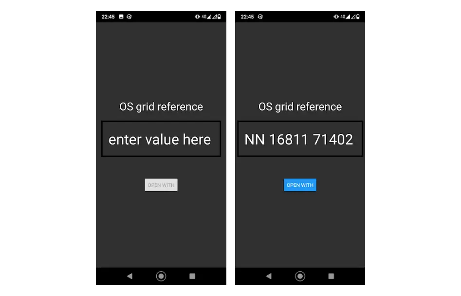
You can open a location from a different app with it, and it will tell you the OS GR, or you can type one in and open it in a different app. There are many apps that can tell you the GR of your location, based on GPS, but IMHO it is more useful to be able to point at a location on a map and ask for the GR. Annoyingly, not all maps / navigation apps support opening a location in a different app (i.e. google maps and komoot), so you cannot get the GR from these. You can still type in a GR and open it in komoot for example.

Wanna help?
- I have an android device, hence why it's an android app. It should be relatively easy to build an iOS app from the same source code.
- If you're willing to contribute a better logo than the horrendous thing I've designed that will be great.
- Any comments, feature requests (within reason), please do tell.
Get in touch either by email or on the project's repo on github.
Disclaimer
I'm not a professional mobile developer, and it's just a free and open source mini project of mine. It probably won't light your phone on fire, or share your bank details with facebook, but it might (and probably will) brake in unexpected ways. Please don't blindly rely on this for navigation.